
If you’re new to the re-emerging conflict over the Isiboro-Sécure National Park and Indigenous Territory (TIPNIS), or if you simply want a visual look at the lush environment that is being fought over, there is no better place (for Spanish-speakers) to start than the 2016 documentary El camino es el río [The River is the Road]. Beautifully shot in the TIPNIS communities of Nueva Lacea and Puerto San Lorenzo, it is also co-narrated by Marquesa Teco, the President of the Women’s Subcentral of TIPNIS and one of the most important voices within the territory in 2017.
The name of the documentary says a lot. For proponents of running the Villa Tunari–San Ignacio de Moxos highway through TIPNIS, connecting the territory to outside markets offers the promise of development. However, as the documentary shows, these promises run counter to the actual needs of longtime Tsimané, Yuracaré, and Mojeño-Trinitario residents, whose communities are linked by rivers that generally flow from east to west.
“We the Yuracarés and the Trinitarios are people who live on the rivers, we make our communities by their banks,” Silverio Muiba, a Mojeño-Trinitario resident of Santíssima Trinidad observed to Sarela Paz a generation ago. “On the other hand, the Quechuas always live were there is a road: where the road runs out, so do the collas [highland indigenous people].”[1] The different needs of Quechua- and Aymara-speaking cocaleros, who have steadily turned the forests of TIPNIS into new plots for growing coca connect readily to the highway. Their livelihoods are built around a cash crop that serves distant markets.
Should the highway be built, it will literally pass by (and far away from) most indigenous communities. They will feel its effects in the increased deforestation of the interior of the park without ever receiving transportation benefits.

[1] Sarela Paz Patiño, “El Limite Yuracaré,” Facetas, July 24, 1994, sec. Datos e Análisis, http://www.bibvirtual.ucb.edu.bo/etnias/digital/106000425.pdf.
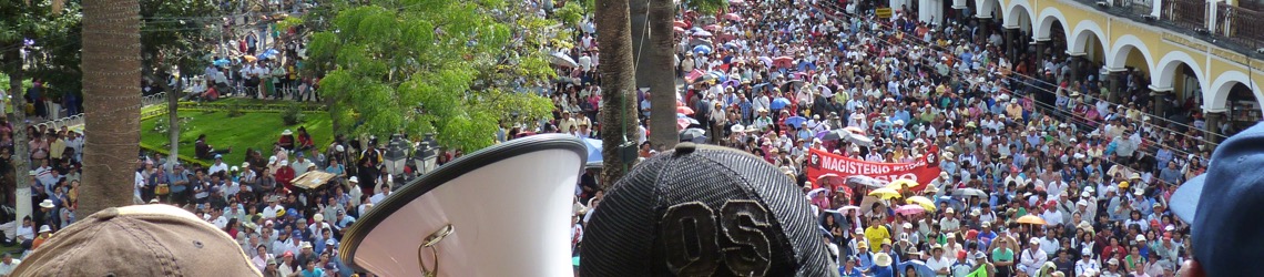
Image above: still from El camino es el río.
